Wild sunset storms over, we continued on the road. Our first stop led us pulling over on the side of the road sometime before it turned to gravel to read about Joshua Morgan.
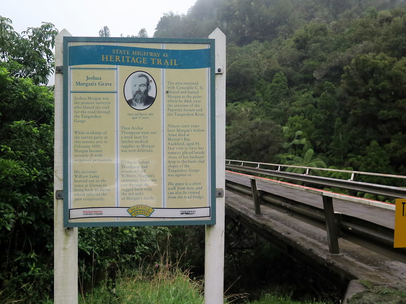
Clearly marked and about two minutes off from the road lies Joshua Morgan, the Head Surveyor for in this region in 1893. The sign tells the story – Morgan fell ill while leading the expedition, help was sent for, but to no avail. He died and was buried in the same spot, near the junction of two rivers.
At 35 he was an accomplished surveyor and fluent in Maori, the first white explorer to cross the Urewera mountain range. His plans for the road we drove on were eventually executed, and it has served the area for many years.
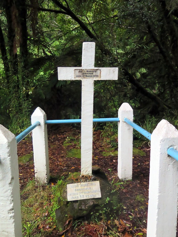
His wife’s dying wish was to be buried near his grave, which the local authorities honored.
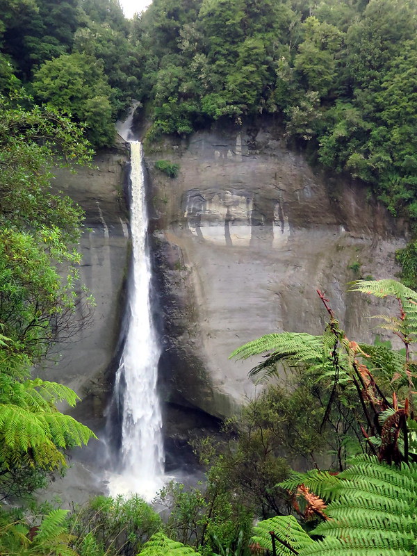
The next stop on the way was a vista of Mt. Damper Falls, one of the tallest waterfalls on the North Island. It’s a fairly short walk, about twenty minutes one way, and except for the mud is quite easy. There is some farmland on the way, so closing gates is important. The reward is this view of the falls, seventy four meters tall.
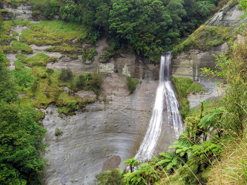
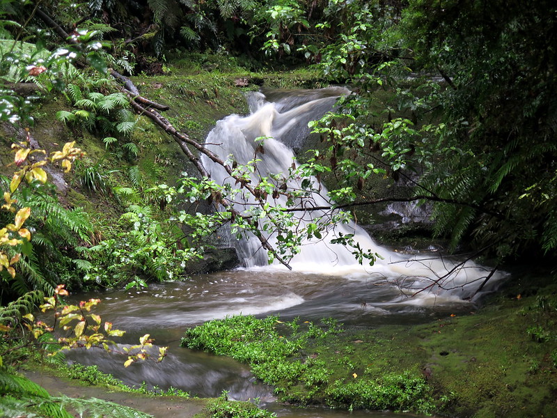
Not mentioned on the parks website is this second waterfall, very near the first. It forks off after the start even after it’s been raining. We found it to be the more interesting of the two falls, despite the prominence of the first. There are back-country hiking trails that come and go through the area, including one marked as closed for safety reasons that had clearly been travelled recently.
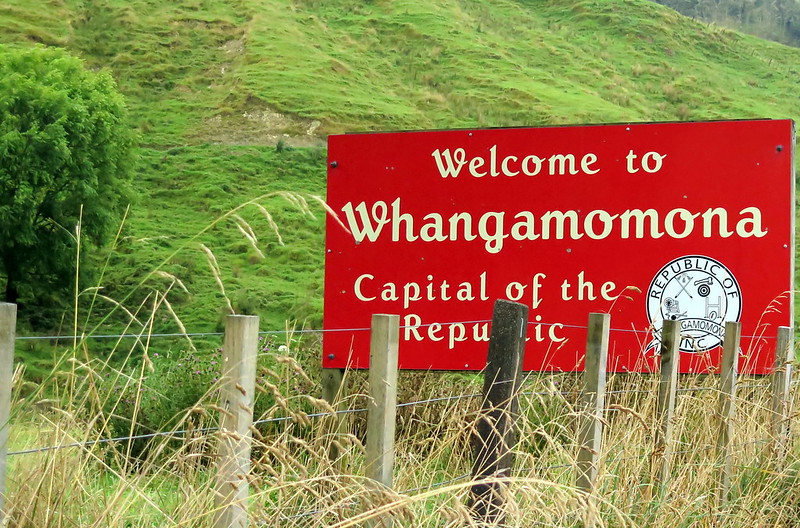
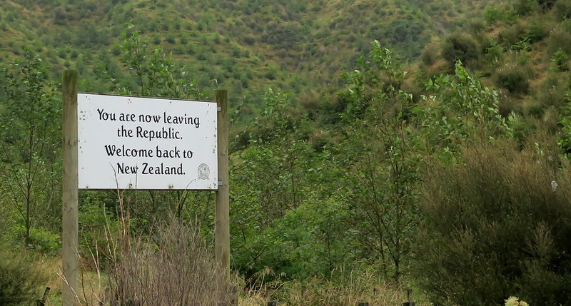
Further down the road, past the hand-carved tunnel of which we got no good pictures but can tell you it’s rough, narrow, and damp, is the republic of Whanga and its capital, Whangamomona. In a border-redrawing in 1989, Whangamomona was placed in a neighboring county, and not the one its residents consider home. In protest, after attempting to correct the error, they declared independence and now have a Republic Day holiday and give out passports to tourists.
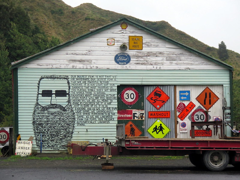
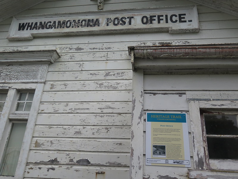
The history is somewhat tongue in cheek, as their first president was placed on the ballot without his knowledge and the following three presidents were animals. The town boomed and declined with local farming and the coming of the rail line, and is now in a fairly sad state. The population is around a hundred people and dropping, and since the post office closed recently, the inevitable decline became even more inevitable.
Actively used buildings are kept in good repair and the New Zealand Parks services maintains a clean bathroom in one corner of town, but most of the buildings are shuttered and there are no real businesses save the town hotel. The people live in good spirits though. The hotel’s pub was busy and cheerful, and the town’s welcome sign says “Come and increase our population”.
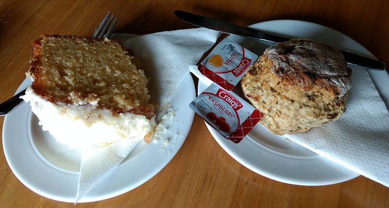
We enjoyed a snack at the hotel’s restaurant – scones and cake – but the french fries smelled delicious and it was hard to resist sitting down for a full meal.
Next up : the Goblin forest and saying goodbye to New Zealand.
