Puketi Forest

17-IMG_7752

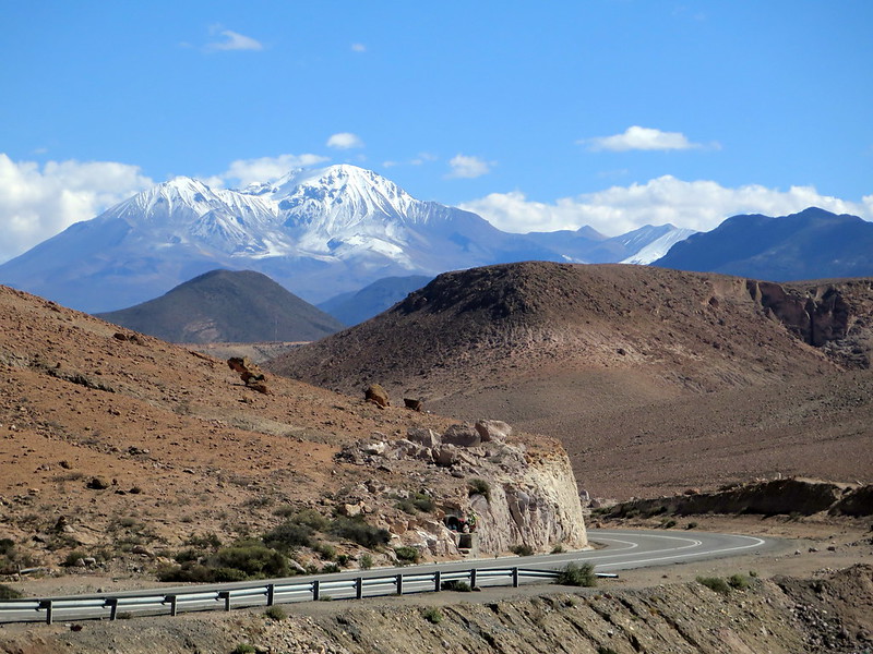
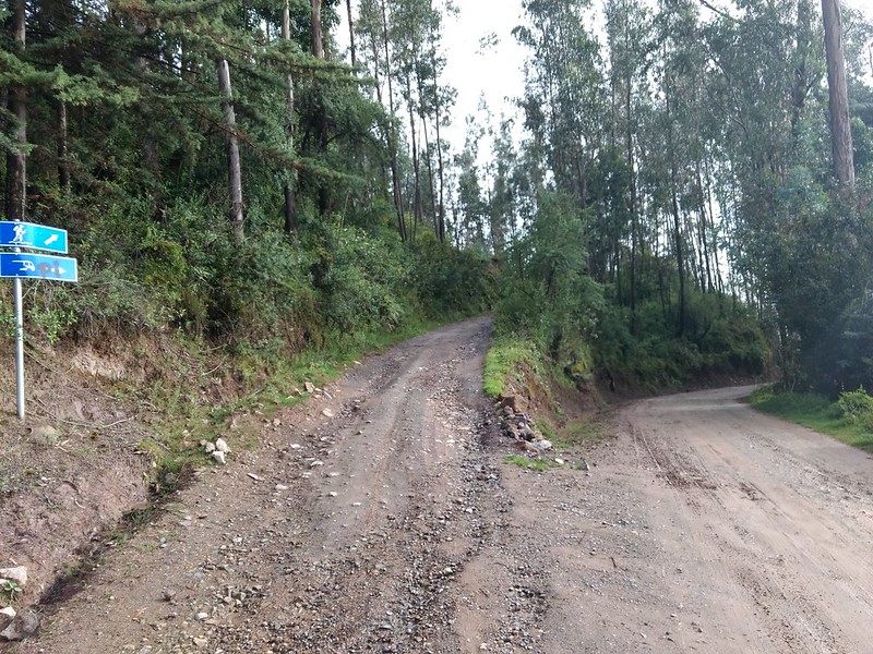
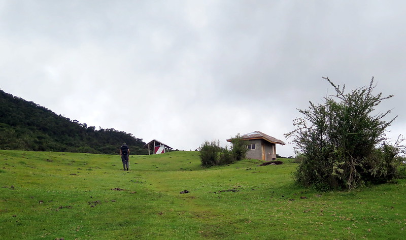
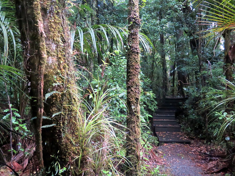
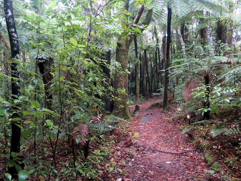
Take a turn off the main road and keep going. Eventually you hit gravel, and even farther, dirt. At the end of a dirt road is where many of the North Island’s treasures are hidden. Without too many tourists or locals, they’re great places to see the nature of New Zealand and explore in peace and quiet. Like the fantastic Waipu Caves, the Puketi forest sits at the end of a dirt road, and while it’s listed in some of the travel guides, we found it to be entirely quiet even at the peak of tourist season. Unlike the rest of the North Island, the northern peninsula seems to have less sightseers, few enough that many great attractions are rarely visited.

16-IMG_7742

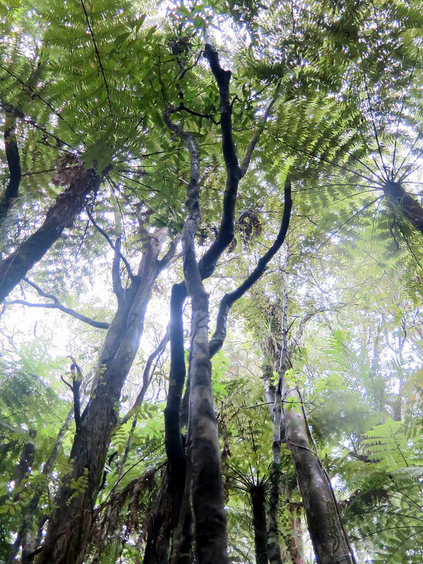
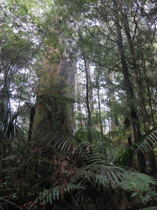
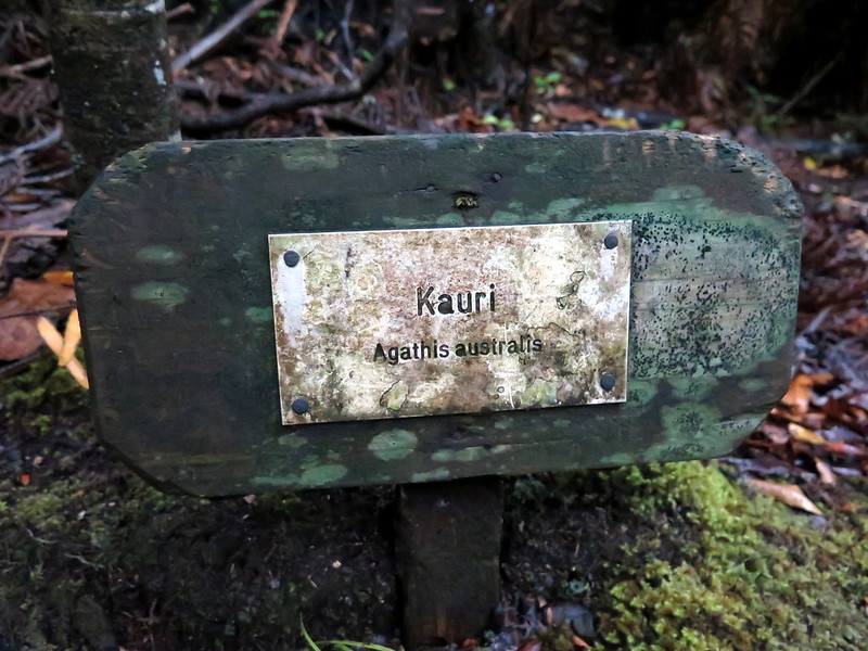
The Puketi forest is one of several Kauri tree forests left in New Zealand. Shorter than Redwoods but much thicker, Kauri trees are a symbol of pride on the island, considered the kings of the forest by the Maori. In person they are striking, their trunk overwhelming, their branches blooming into a canopy of what would be normal sized trees some thirty meters in the sky.

06-IMG_7598

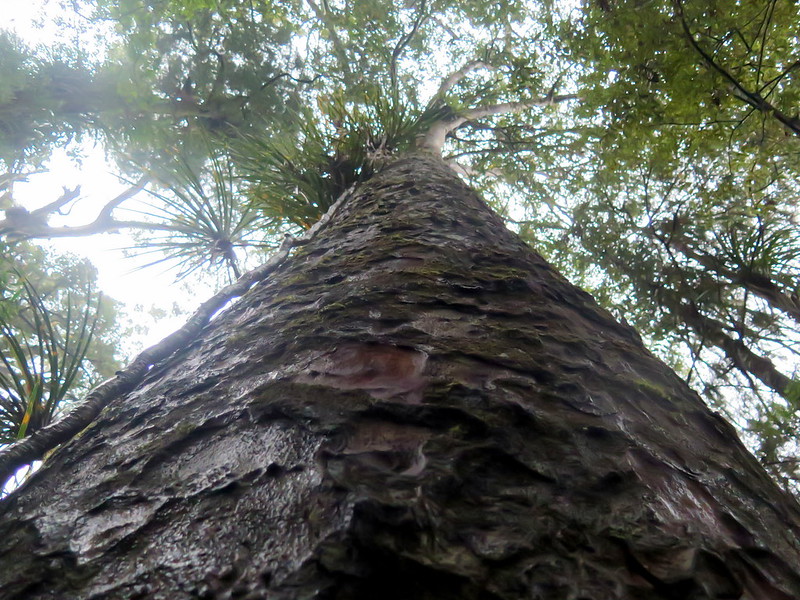
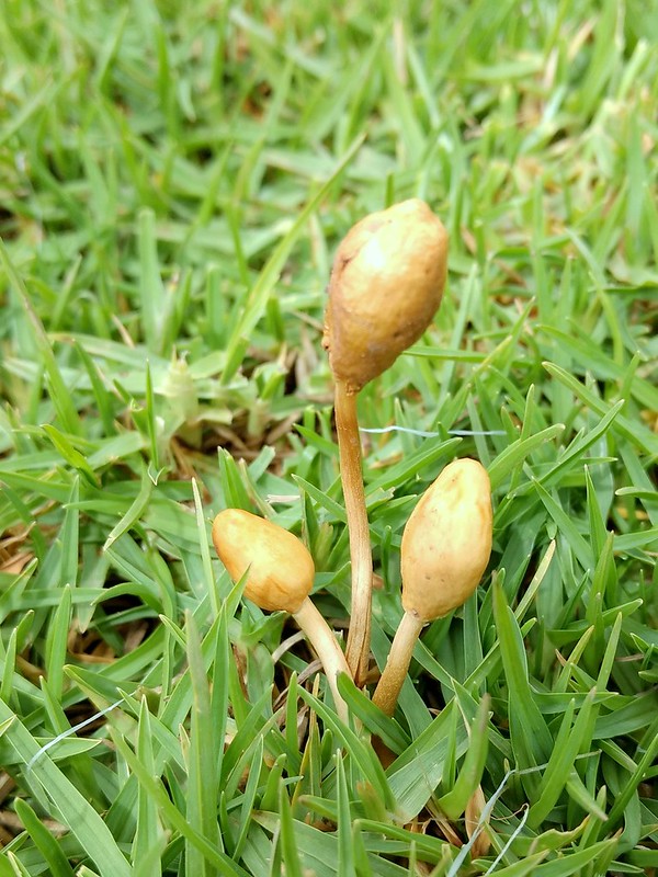
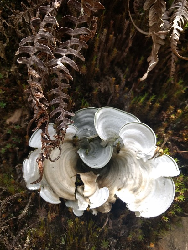
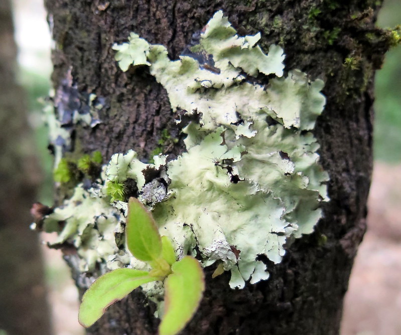
The Puketi forest is not the best place in the Northland to see the largest of these trees, but it is the best we found for seeing them in their natural environment. While the Parks department does a great job of framing their particularly treasured trees, in Puketi you see them mostly unimpeded by railings, and without the crowd that the greats attract. Another surprising nicety at Puketi – the trail has signs naming the various flora

13-IMG_7667
11-IMG_7631

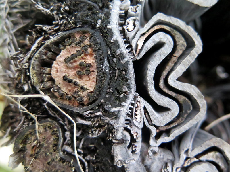
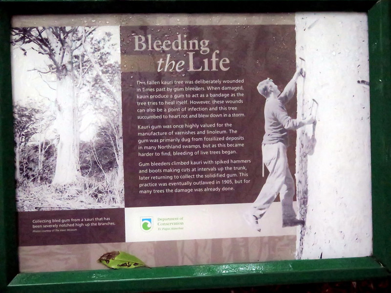
The nature walk also does its best to educate the public of the problems that faced the Kauri trees. Besides being highly desired for their famously straight and durable lumber, the trees produce a wound-covering rubber. Initially rubber harvesters took it from fossilized deposits in the northland, but turned to bleeding live trees when the old supplies ran down. The cuts and gouges left the trees open to disease and as a result many died.

03-IMG_7577

07-IMG_7603
A Kauri tree covering damage with gum-like sap.

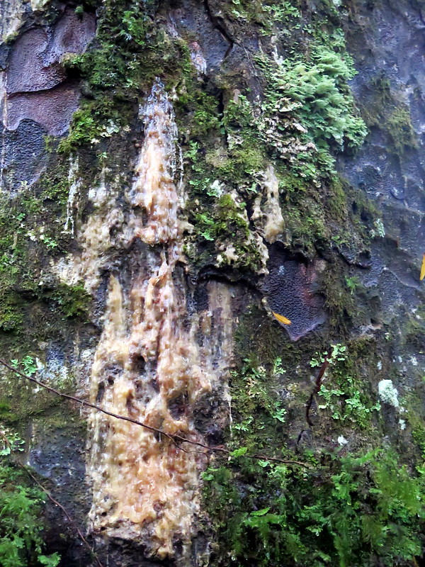
The modern-day villain for these trees is Kauri dieback disease. Spread by mammals, particularly humans and wild boar, the disease causes a laundry list of symptoms leading inevitably to tree death. There is no known cure, and the trees don’t show any natural resistance. Once a single tree has been infected it’s only a matter of time before any nearby trees succumb. The spores can live for a long time without being in a Kauri and it takes only a microscopic amount to spread the disease to a new area. To protect the trees New Zealand authorities have made sure to set up elevated walkways at all popular Kauri sites, introduced public awareness campaigns for cleaning gear, and have even closed sites when the threat of infection became too great.

19-IMG_7775

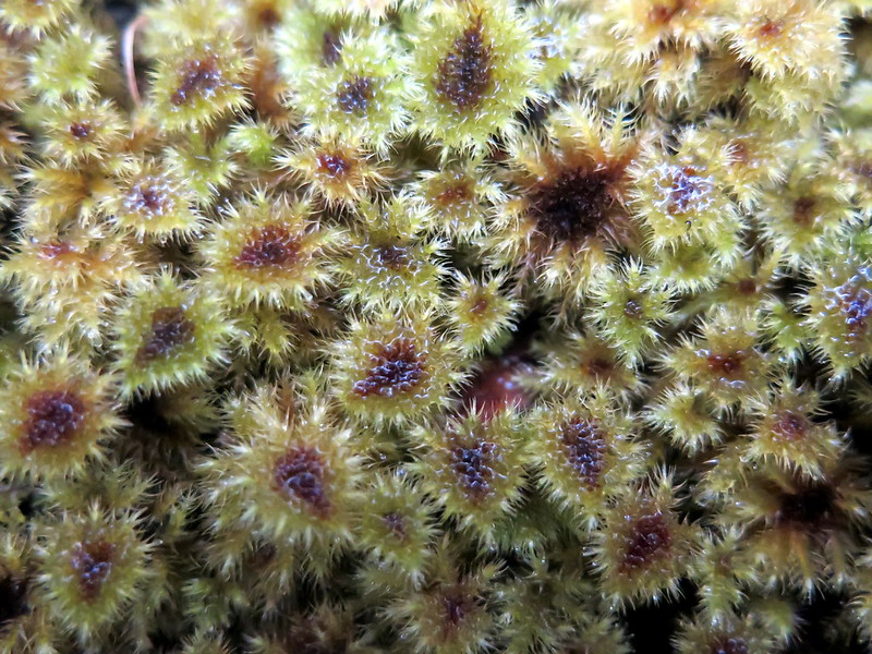
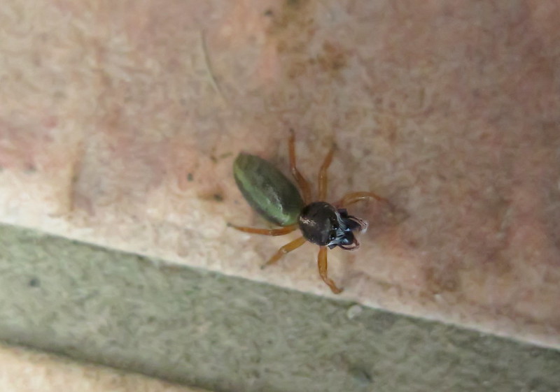
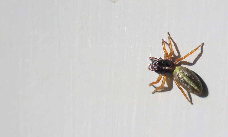
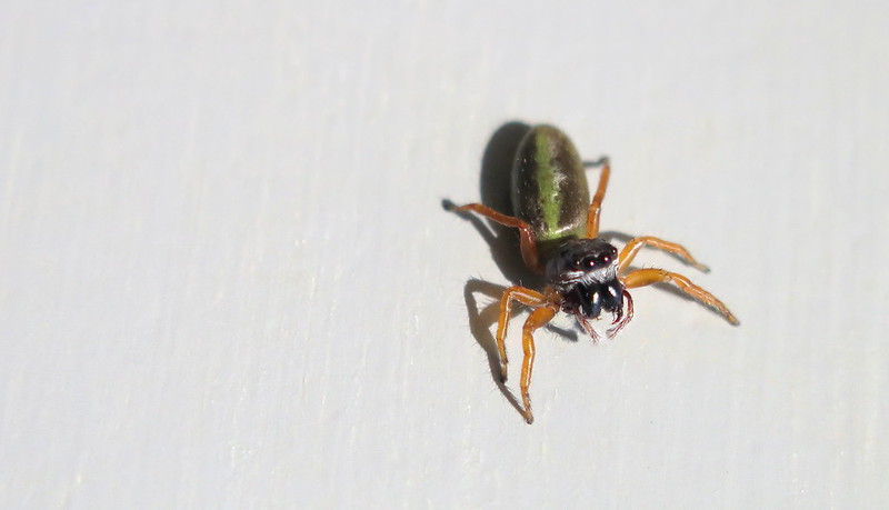
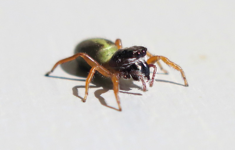
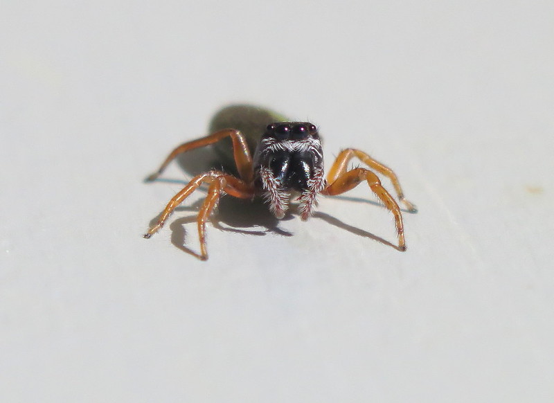
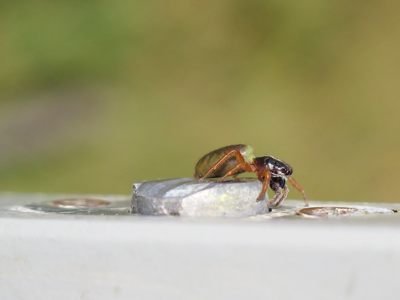
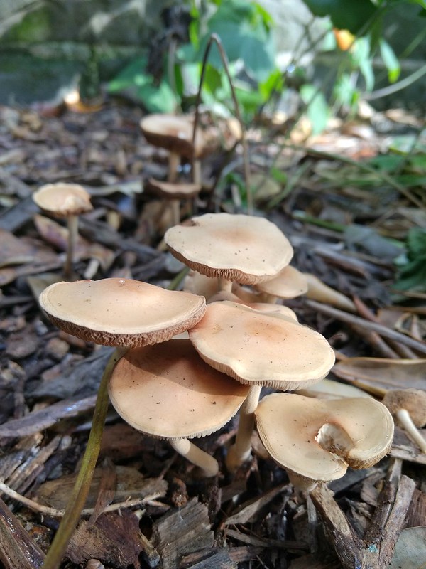
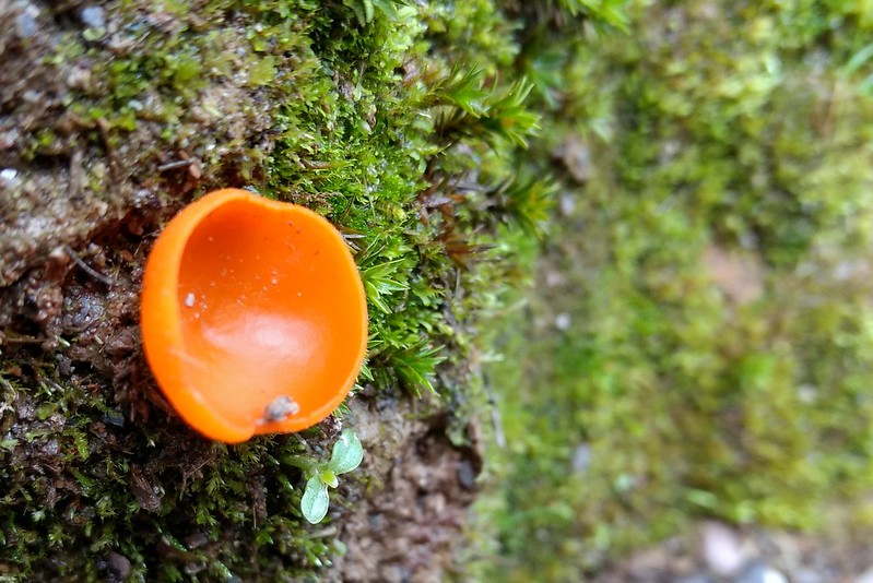
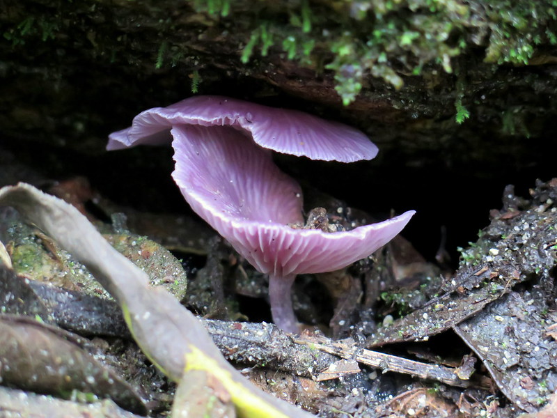
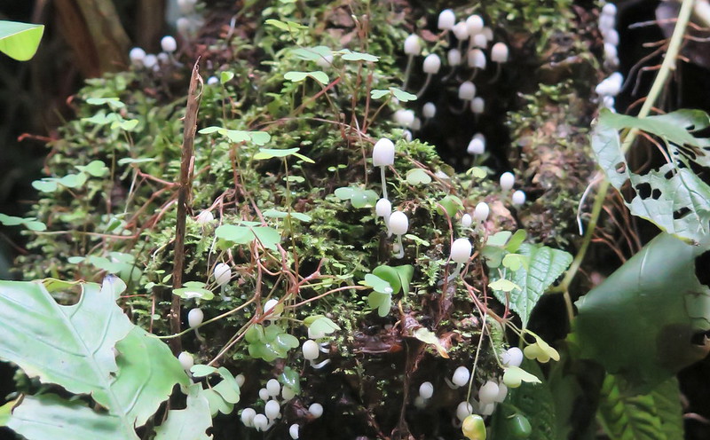
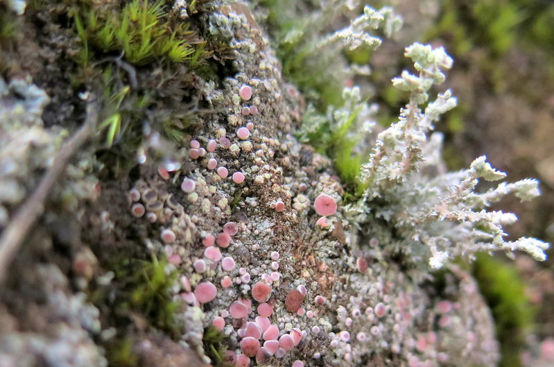
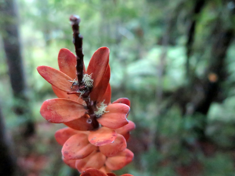
The nature walks at Puketi are a great way to learn about the flora of New Zealand, to appreciate the history of, and threats to, the greatest of the islands trees. Their future is uncertain, an unfortunate reality for these proud giants. Despite this shadow, the forest is peaceful and full of life. It is vitally green, full of the sounds and smells of nature, with beauty great and small on all sides.

12-IMG_7643
A view of the sun-stopping canopy
04-IMG_7584
The Kauri tree, conspicuous even in the dense forest flora
18-IMG_7770
A cross-section of a dead tree
15-IMG_7732
Kauri bark sloughing off to shed moss and parasites
14-IMG_7680
Tiny, floor covering moss

The Curious Case of the Six-legged Spider

I found the most curious spider at Waipu Caves. It had the definite shape and movements of a jumping spider, from two large luminous eyes to bounding around while I tried to photograph it. But it also definitely had six legs.

01-IMG_7328
A photo where I first found the spider: hiding in the bathroom.

I managed to lure the spider out into the sun, hoping to figure out where the two extra legs were. But even in the light, there were still only six legs – the two fuzzy things at the front are the pedipalps, part of the spider’s mouthparts.

08-IMG_7353
Luring the spider out into the sun for photography. Yep, it still has six legs.
07-IMG_7350
Still six legged: those small fuzzy “limbs” next to the fangs are the pedipalps, not legs.

Baffled by this mystery and enchanted by the brilliant peridot-green of the spider’s abdomen, I took a few more shots. We don’t have much in the way of internet access out here, so figuring out whether there is indeed a six-legged spider species in New Zealand will have to wait.

05-IMG_7344
The mystery spider patiently sits for a photoshoot.
04-IMG_7342
A head-on view of the spider. It’s curious about the camera, or it sees its own reflection and considers it another spider.

Update: I did some research and this isn’t a spiffy spider species that sports only six legs. It’s an unfortunate individual of the Trite genus (insert joke about the name lacking originality here), probably Trite planiceps (although it looks closer to this unidentified Trite species). These spiders normally come with eight legs, but this individual had his/her front two leg torn off, likely from an encounter with a predator or in a territorial battle with another spider. You can even see the stump of one leg to the left of the chelicerae and pedipalps in photos 2 and 4 above. Ouch. 

Thankfully, these spiders frequently lose their front limbs and carry on with their normal lives in terms of hunting and survival. But they do have some worse luck in fighting battles against other spiders and in mating – there’s a whole thesis on it here.

11-IMG_7366
The spider on the door lock, for size scale.

Auckland and the little things

Auckland is at once the same and radically different from cities in South America. It’s not the overarching categories of things that are different; there are still roads, cars, restaurants, parking lots, houses, parks. But how they look is radically different compared to South America. Gone is much of the roughness, the sensation of that the city is unfinished and in flux. Auckland instead resembles the coastal cities of the United States, with a static polish over everything. There are things under construction, but they’re politely hidden from view and fenced off by perimeters of cones and fences. All of the roads sport the glossy sheen of asphalt and sidewalks are formed by immaculately poured concrete. And the buildings form neat little units, sized and proportioned to match each other even when they differ in appearance.

But even in the static polish of Auckland, where you could for a moment mistake yourself in Seattle or San Francisco, there are little things that stand out as different. It’s the details that make a place, and here in Auckland these little things take on a form of whimsy we’ve come to associate with New Zealand.

1-IMG_20170205_161333
A city block in Auckland, which looks much like a city block in Seattle or Los Angeles.
16-IMG_20170205_165045
A wooden arch erected in a park for summer festivities with Maori-inspired designs. Here in Auckland, the differences are in the details.
19-IMG_8043
A community garden space in Auckland. The city maintains 42,000 hectares of parks and open spaces. Compared to Los Angeles (9,700 hectares) and New York City (11,300 hectares), Auckland has more than ten times the park space per resident in the city.
25-IMG_20170221_173025
Mushrooms grow at a park in Auckland. One benefit of so much parkspace is a panoply of nature is always only a few steps away.
21-IMG_20170212_185202
A house in an Auckland suburb. Like most cities in the Western world, Auckland is a city center surrounded by a massive sprawl of suburbs.
09-IMG_7002
An grocery ad at a bus stop. The switch in gender roles here would be nigh unprecedented in U.S. advertising, which promulgates the myth that most men can’t cook.
24-IMG_20170221_161754
A coffee shop mascot near University of Auckland. Even the monsters here are polite.
23-IMG_20170213_144110
Guide signs in a warehouse grocery store in Auckland. Dinosaurs are really cheap this week…
18-IMG_20170207_133148
Chinese for lunch: Nearly 22% of Auckland’s population is Asian, and the city boasts an amazing array of restaurants specializing in Asian cuisine.
13-IMG_7020
Election signs erected in a park in Auckland. There are nearly 10 different candidates you could vote for in this election.
14-IMG_7022
“The Sound of Rain”: A miniature bronze house commemorating New Zealand’s transition from a colony to a dominion.

Six hours in Calama

We left Arica last night on an overnight bus and though we have our bus routine down by now, we never get a fully restful sleep. When we arrive in Calama at 9 am, we stumble off the bus dazed. We’ve got only six hours before a flight from Calama to Santiago–an unfortunately already-booked holdover from when we originally planned to visit San Pedro de Atacama.

For most people, Calama is a stop along the way to the famed San Pedro de Atacama, so there isn’t much tourism infrastructure here. The town’s primary industry is copper mining and the metal appears everywhere, from embellishments in the sidewalk to souvenirs available in the shops. As a complement to copper’s reds, the sun’s rays here cast an intense orange hue over the desert town.

Here are the photos from our scarce six hours in Calama:


01-IMG_6950
We arrive at the bus depot in Calama
02-IMG_6953
A family shops at a local market


03-IMG_6955
People look for work on a jobs board
04-IMG_6958
A guy poses for a photo
08-IMG_6964
Street art in an alley off the Eleuterio Ramirez, the city’s main main pedestrian street


09-IMG_6966
A man works on renovations in Calama’s main pedestrian street


07-IMG_6963
More street art off of the main pedestrian street
10-IMG_6968
The El Loa Airport in Calama, complete with copper paneling and an advertisement for mining tech
1-IMG_20170131_151023843
Two copper rings we purchased as souvenirs

Arica Day Tour Part II

I’m not a huge fan of day tours, because it usually involves cramming as many things to see in as little time as possible with not much thought given tho how enjoyable it is. You spend the day piling into and spilling out of a van, while someone explains things to you that (for me at least) don’t have enough context rooted in the area for you to remember it. This isn’t a criticism of day tours from Arica specifically, but my view of day tours in general.

BUT these tours do make for some gorgeous picture opportunities. So here is the second half of our photos from our Arica day tour:

20-IMG_6688
Chile’s “rainbow mountains” in Reserva Nacional Las Vicunas
21-IMG_6692
Wild burros graze in Reserva Nacional Las Vicunas
27-IMG_6721
A view of the many lakes in the region
22-IMG_6699
A viscacha hides from the midday sun
26-IMG_6718
A llama grazes beside an algae-covered pond
30-IMG_6734
A flamingo grazes at Lake Chungara
31-IMG_6758
The volcanoes at Lake Chungara are still active, and occasionally release puffs of smoke
40-IMG_20170129_125256
We stop for a rest on the side of the road
43-IMG_20170129_164953
A UV radiation index in Putre. Yes, it is “extremo”.
35-IMG_6817
Ridges in the Atacama desert resemble Martian terrain.
38-IMG_6836
We get caught in traffic on the way back to Arica. Freight trucks are the majority of users on this highway, traveling between Arica’s port and Bolivia.
36-IMG_6833
A fertile valley at the foot of a steep, sandy mountain in the Atacama desert.

Arica Day Tour Part I

I’m not a huge fan of day tours, because it usually involves cramming as many things to see in as little time as possible with not much thought given tho how enjoyable it is. You spend the day piling into and spilling out of a van, while someone explains things to you that (for me at least) don’t have enough context rooted in the area for you to remember it. This isn’t a criticism of day tours from Arica specifically, but my view of day tours in general.

BUT these tours do make for some gorgeous picture opportunities. So here’s the first half of our photos from our Arica day tour:

01-IMG_6585
Waiting on the road for our tour van to pick us up.
02-IMG_6607
A church in the Atacama desert
04-IMG_6595
Graves at a church in the Atacama desert
06-IMG_6605
A memorial wreath at a grave in the Atacama desert.
08-IMG_6619
A tourist approaches a candalabra cactus (Browningia candelaris) in the Atacama desert
10-IMG_6632
Stoytcho befriends a candalabra cactus in the Atacama desert.
11-IMG_6642
Stoytcho measure the length of a cactus spine on a candalabra cactus
12-IMG_6644
Candalabra cactus: a view from below
07-IMG_6614
Ridges in the Atacama desert as seen from our tour van
14-IMG_6649
The road to Reservan Nacional Las Vicunas, which lies on the Chilean-Bolivian border
15-IMG_6655
Brightly-colored lichens grow on rocks in the Atacama desert
18-IMG_6674
We pose for a photo outside of Putre

Machu Picchu in Pictures

15-IMG_6256
Morning mist at the ruins of Machu Picchu

Because a picture is worth a thousand words, here is a photoessay on our visit to Machu Picchu. For those of you who want a wordier post (and some critical commentary on visiting), here’s the essay.

06-IMG_6221
Mountains obscured by mist and clouds, as viewed from the trail to the Sun Gate
07-IMG_6224
A worker removes dirt from between the stones on the trail to the Sun Gate
10-IMG_6236
Passing clouds obscure the ruins as seen from the terraces to the northwest of the main gate (former cemetary and guard quarters)
28-IMG_20170120_082049
Machu Picchu as seen from the terraces to the northwest of the main gate
16-IMG_6258
Terraces and buildings that have been reconstructed and given new thatched roofs
14-IMG_6254
A worker poses beside a wall where he has removed dirt from between the stones. If you encounter the workers, I would treat them with respect and thank them. They work hard to maintain Machu Picchu.
04-IMG_6218
A man poses for a selfie on the terraces of Machu Picchu
12-IMG_6247
A full view of the ruins from near the main entrance.Huayna Picchu (upper right) is obscured by clouds.
13-IMG_6251
Tourists pose questionably while an employee works on a nearby wall
18-IMG_6268
A woman is excited after getting her picture at the Sacred Plaza in the ruins
24-IMG_6301
Nature’s lawnmowers: llamas and alpacas are used to keep grass in check on the ruin’s terraces. They also serve as an informal petting zoo for the curious.
20-IMG_6281
A tour group waits at one of the many “bottlenecks” along the Machu Picchu ruins path. The whole path is arranged to be unidirectional and marked with signs to prevent total chaos. At some extremely narrow or famous points, tour groups get bunched up and chaos ensues anyway.
22-IMG_6292
Workers measure the impact of thousands of human feet on the ruins by measuring the height of the dirt path. This is in the Eastern Urban Sector of the ruins.
21-IMG_6285
A path leading off a cliff in the northern part of the ruins.
19-IMG_6278
A view of the Urubamba River from the terraces in the north of Machu Picchu. The thin line above the split in the river is the rail track we crossed on the hike here.
11-IMG_6240
The archetypal view of Machu Picchu.
23-IMG_6296
Narrow corridors between the buildings is a characteristic hallmark of the Eastern Urban Sector at the ruins. This area could have housed hundreds or even a thousand people during the height of the Incan Empire.

The Salkantay Trek in 20 Photos

Here is our 4-day, 56 km trek along the Salkantay, for those who would rather have it in pictures than in words:

Day 1

01-IMG_20170115_074935
A fork near the start of the trail. The first day’s trail has several such junctions.
02-IMG_5724
Reaching Parador Horanda Pata, the first vista along the trail
03-IMG_5767
Hiking deeper and higher into the Andes
04-IMG_5834
A view of Salkantay Mountain overshadowing Sorayapampa, the first night’s campsite

Day 2

05-IMG_5850
A cow rests in the valley below the Salkantay Pass
06-IMG_20170116_095738
Campsite at Salkantaypampa on the way to the Salkantay Pass
07-IMG_20170116_110727
Switchbacks rising from the valley floor up to the Salkantay Pass
08-IMG_20170116_125514
The top of the Salkantay Pass on a rainy day
09-IMG_5868
The mists of the rainy season hang over the Andes on the other side of the Salkantay Pass
10-IMG_5883
The rainy season temporarily converts the trail down into a slippery stream. This is how I slipped and fell and hit my neck (but not where it happened, thank goodness, or I’d be much worse off).

Day 3

11-IMG_5918
A view of Salkantay Mountain over our campsite last night (Wayramachay)
12-IMG_5930
A turquoise river flows through the dense jungle next to the trail.
13-IMG_6011
Hiking mostly downhill today, a welcome change. I’m wearing a makeshift neck brace after yesterday’s fall.
14-IMG_6018
The Santa Teresa/Salkantay River at high levels from the rainy season
15-IMG_20170117_163413
A washout on the steep valley trail beside the river. This one was thankfully passable.


Day 4

16-IMG_6140
Operating the gondola to cross the river at our campsite (Winaypocco). We tried to venture further on this side of the river but encountered an impassable washout.
17-IMG_6159
Locals wait as a CAT digger clears a washout on the vehicle road. Rainy season brings washouts throughout the valley. Some (like the one above), cut people off from the outside world for several days.
19-IMG_20170118_141224
Hiking the hot, shadeless vehicle road just outside of Playa. From here, we took a car to Santa Teresa to find a doctor and make sure I hadn’t been injured from Day 2’s fall.
20-IMG_20170118_160353
The first hot meal after four days of trail food, after arriving by car in Santa Teresa.
18-IMG_6172
Reference stacks at the Santa Teresa medical clinic. We visited to make sure I haven’t seriously injured my neck. It all turned out fine.

Funky Fungi and Lichens of the Salkantay

As creatures in the “not animals” category, fungi and lichens are another ubiquitous inhabitant along trails that don’t get enough love. But they come in some of the brightest colors and weirdest shapes, attesting to the creativity of nature’s palette. Here are some of the funkiest little fungi and lichens we encountered during our hike.

Note: I’ve made some broad attempts to identify these, but fungi can be notoriously hard to pin down (even into Families) without extensive analysis of microscopic details. We didn’t have a microscope on the trail, so that’s the best I can do. That being said, if there’s a field guide floating around out there that covers the fungi of the Peruvian Andes, TELL ME!!

Second note: We hiked in January (the rainy season), the abundance we saw may be due to the increased rain.

Friendly Fungi

IMG_20170115_104110
I’m guessing a type of Basidiomycete, perhaps an immature stinkhorn or earth star. This is one of the more unusual shapes I’ve seen for a mushroom.
IMG_20170115_133815
A vividly orange Ascomycete that is probably a relative of the orange peel fungus (Aleuria aurantia) we see in North America.
IMG_5700
A pair of young puffballs. Judging from their somewhat spiky exterior, I would guess they’re from the genus Lycoperdon.
IMG_6202
Small purple mushrooms found along the railway to Machu Picchu. Beyond Basidiomycota, I couldn’t tell you much else except that it seems to have fairly irregular gill formation.
IMG_6196
Tiny white mushrooms growing from a dead tree stump along the railway to Machu Picchu.

Loveable Lichens

IMG_5982
Lichens growing on a rock in the Andes; there are probably a couple of different species here, including squamulose and fruticose forms.
IMG_20170118_114927
An intense foliose lichen, probably of the Dictyonema genus.
IMG_6148
Another foliose lichen, this time growing on a tree trunk.
IMG_20170118_134418
An intensely orange fruticose lichen, maybe something in the genus Teloschistes

References

Wikipedia article on orange peel fungus

Wikipedia article on Puffballs

Getting to Know Lichens

Lichen Mophology

Dictyonema Wikipedia Article

Cusco: First Impressions

IMG_5447
The rainy season’s clouds settle over Cusco

Country number six: Peru. After a few flights and a terrible layover, we landed in Cusco around 10 am. We were exhausted, but managed to find the correct bus to our hostel, accidentally got off a stop too early, and then trudged uphill to our hostel. Maybe it was the week of pampering on the Galapagos, or maybe it was the thin air, but these first stairs in Cusco were some of the hardest I’ve climbed. One hostel bed and a blessed nap later, we left to explore the city.

Sitting at nearly 3,400 meters above sea level (more than 11,000 feet), Cusco is a high-altitude city normally populated by posh tourists, adventurous thrill-seekers, and local Peruvians trying to make a living. But because we arrived in the low (rainy) season, the narrow cobblestone streets of the city were decidedly quiet, while the sky alternated between bright blue and threats of rain. Here’s our first impression in photos:

IMG_5450
An empty street in Cusco’s hills
IMG_5661
Women selling tours gather to chat in Plaza de Armas
IMG_5444
A thrill-seeker rides his bicycle down the steep steps in a hillside neighborhood
IMG_5459
A signpost explains the layout of Prehispanic Cusco; the original city was laid in the shape of a jaguar along cardinal directions of Mayan myth
IMG_5456
A family relaxes at a park overlooking Cusco
IMG_5460
A mural on the wall in a restaurant and bar
IMG_5465
Vendor shops in an alcove near Plaza de Armas
IMG_5665
Construction workers demonstrate in the street at dusk

IMG_5454
An alternate view of Cusco, not unlike the one you might experience while fainting from the thin air here (just kidding — playing with new photo angles)